
Thank you for supporting this site ❤️
Make a donation
Make a donation
Azores topographic map
Click on the map to display elevation.
Thank you for supporting this site ❤️
Make a donation
Make a donation
About this map
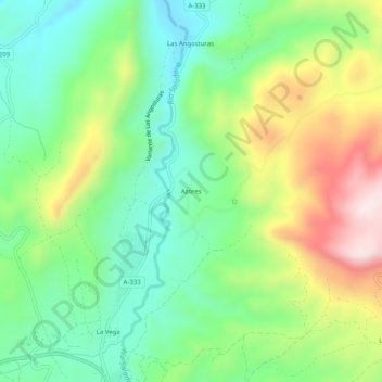
Name: Azores topographic map, elevation, terrain.
Location: Azores, Priego de Córdoba, Córdoba, Andalusia, 14800, Spain (37.44756 -4.20261 37.48756 -4.16261)
Average elevation: 656 m
Minimum elevation: 475 m
Maximum elevation: 974 m
Thank you for supporting this site ❤️
Make a donation
Make a donation