
Thank you for supporting this site ❤️
Make a donation
Make a donation
Spring Creek topographic map
Click on the map to display elevation.
Thank you for supporting this site ❤️
Make a donation
Make a donation
About this map
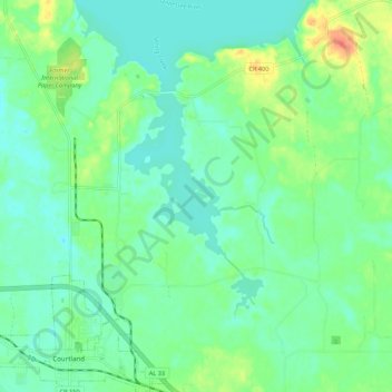
Name: Spring Creek topographic map, elevation, terrain.
Location: Spring Creek, Lawrence County, Alabama, United States (34.66136 -87.28584 34.75044 -87.24992)
Average elevation: 177 m
Minimum elevation: 163 m
Maximum elevation: 212 m
Thank you for supporting this site ❤️
Make a donation
Make a donation