
Thank you for supporting this site ❤️
Make a donation
Make a donation
Birdseye topographic map
Click on the map to display elevation.
Thank you for supporting this site ❤️
Make a donation
Make a donation
About this map
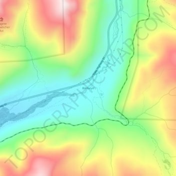
Name: Birdseye topographic map, elevation, terrain.
Location: Birdseye, Lake County, Colorado, United States (39.29110 -106.24752 39.33110 -106.20752)
Average elevation: 3,332 m
Minimum elevation: 3,076 m
Maximum elevation: 3,692 m
Thank you for supporting this site ❤️
Make a donation
Make a donation