
Thank you for supporting this site ❤️
Make a donation
Make a donation
Rengit topographic map
Click on the map to display elevation.
Thank you for supporting this site ❤️
Make a donation
Make a donation
About this map
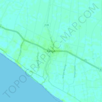
Name: Rengit topographic map, elevation, terrain.
Location: Rengit, Batu Pahat, Johor, 83100, Malaysia (1.64001 103.10573 1.72001 103.18573)
Average elevation: 2 m
Minimum elevation: -1 m
Maximum elevation: 10 m
Thank you for supporting this site ❤️
Make a donation
Make a donation
Other topographic maps
Click on a map to view its topography, its elevation and its terrain.
Thank you for supporting this site ❤️
Make a donation
Make a donation