
Thank you for supporting this site ❤️
Make a donation
Make a donation
Milakhpallupura topographic map
Click on the map to display elevation.
Thank you for supporting this site ❤️
Make a donation
Make a donation
About this map
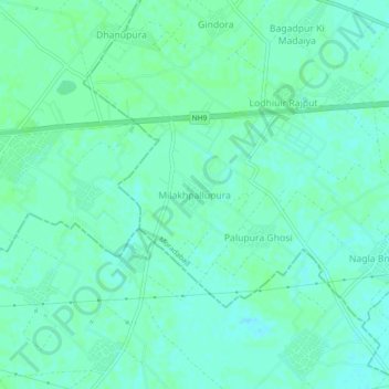
Name: Milakhpallupura topographic map, elevation, terrain.
Location: Milakhpallupura, Moradabad, Uttar Pradesh, 244102, India (28.79223 78.61130 28.83223 78.65130)
Average elevation: 205 m
Minimum elevation: 201 m
Maximum elevation: 208 m
Thank you for supporting this site ❤️
Make a donation
Make a donation
Other topographic maps
Click on a map to view its topography, its elevation and its terrain.