
Thank you for supporting this site ❤️
Make a donation
Make a donation
Hedeviken topographic map
Click on the map to display elevation.
Thank you for supporting this site ❤️
Make a donation
Make a donation
About this map
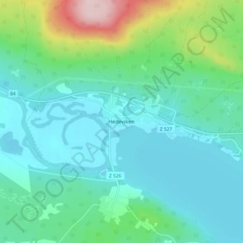
Name: Hedeviken topographic map, elevation, terrain.
Location: Hedeviken, Härjedalens kommun, Jämtlands län, Zweden (62.38781 13.65793 62.42781 13.69793)
Average elevation: 450 m
Minimum elevation: 400 m
Maximum elevation: 641 m
Thank you for supporting this site ❤️
Make a donation
Make a donation
Other topographic maps
Click on a map to view its topography, its elevation and its terrain.