
Thank you for supporting this site ❤️
Make a donation
Make a donation
Daculang Bolo topographic map
Click on the map to display elevation.
Thank you for supporting this site ❤️
Make a donation
Make a donation
About this map
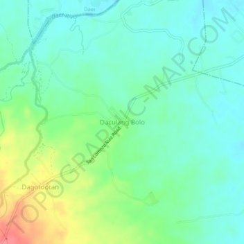
Name: Daculang Bolo topographic map, elevation, terrain.
Location: Daculang Bolo, Camarines Norte, Bicol Region, Philippines (14.05245 122.89265 14.09245 122.93265)
Average elevation: 37 m
Minimum elevation: 16 m
Maximum elevation: 86 m
Thank you for supporting this site ❤️
Make a donation
Make a donation
Other topographic maps
Click on a map to view its topography, its elevation and its terrain.