
Thank you for supporting this site ❤️
Make a donation
Make a donation
Armati topographic map
Click on the map to display elevation.
Thank you for supporting this site ❤️
Make a donation
Make a donation
About this map
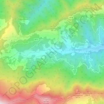
Name: Armati topographic map, elevation, terrain.
Location: Armati, Stellanello, Savona, Liguria, 17033, Italy (43.97943 8.02483 44.01943 8.06483)
Average elevation: 427 m
Minimum elevation: 110 m
Maximum elevation: 958 m
Thank you for supporting this site ❤️
Make a donation
Make a donation