
Thank you for supporting this site ❤️
Make a donation
Make a donation
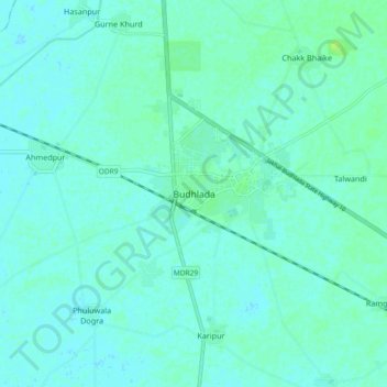
Budhlada topographic map
Click on the map to display elevation.
Thank you for supporting this site ❤️
Make a donation
Make a donation
Budhlada
Budhlada is located at 29°56′N 75°34′E / 29.93°N 75.57°E / 29.93; 75.57 and has an average elevation of 211 metres (692 ft). The border of Haryana state is 25 kilometres (16 mi) away from the city.
Thank you for supporting this site ❤️
Make a donation
Make a donation
About this map
Name: Budhlada topographic map, elevation, terrain.
Location: Budhlada, Budhlada Tahsil, Mansa, Punjab, 151502, India (29.88556 75.50985 29.96556 75.58985)
Average elevation: 221 m
Minimum elevation: 218 m
Maximum elevation: 229 m
Thank you for supporting this site ❤️
Make a donation
Make a donation