
土门镇 topographic map
Interactive map
Click on the map to display elevation.
About this map
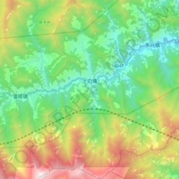
Name: 土门镇 topographic map, elevation, terrain.
Location: 土门镇, 茂县, 阿坝藏族羌族自治州, 四川省, 中国 (31.69148 104.02413 31.82940 104.11015)
Average elevation: 1,841 m
Minimum elevation: 911 m
Maximum elevation: 3,746 m
Other topographic maps
Click on a map to view its topography, its elevation and its terrain.