
Bertrand topographic map
Interactive map
Click on the map to display elevation.
About this map
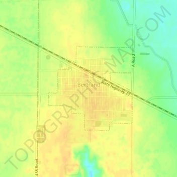
Name: Bertrand topographic map, elevation, terrain.
Location: Bertrand, Phelps County, Nebraska, United States (40.51963 -99.64206 40.53245 -99.62497)
Average elevation: 764 m
Minimum elevation: 746 m
Maximum elevation: 772 m
Other topographic maps
Click on a map to view its topography, its elevation and its terrain.
Atlanta
United States > Nebraska > Phelps County > Atlanta
Atlanta, Phelps County, Nebraska, 68923, United States
Average elevation: 715 m