
Thank you for supporting this site ❤️
Make a donation
Make a donation
Ban Raman topographic map
Click on the map to display elevation.
Thank you for supporting this site ❤️
Make a donation
Make a donation
About this map
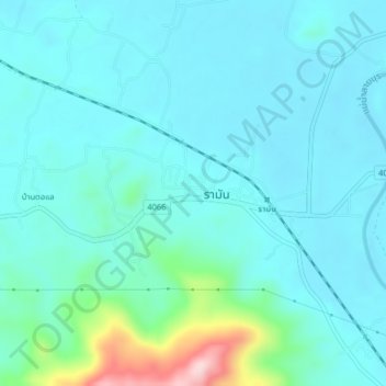
Name: Ban Raman topographic map, elevation, terrain.
Location: Ban Raman, Raman, Balo, Raman, Yala Province, Thailand (6.45764 101.40413 6.49764 101.44413)
Average elevation: 49 m
Minimum elevation: 10 m
Maximum elevation: 266 m
Thank you for supporting this site ❤️
Make a donation
Make a donation