
Make a donation
Western topographic map
Click on the map to display elevation.
Make a donation
Western
Approximately 1.79 billion cubic meters of water are used annually to irrigate the agricultural lands of the governorate. The terrain of the governorate slopes from east to west with an average elevation difference of two meters. Historically, its agricultural lands have been irrigated through canals branching from the Damietta Branch of the Nile, which flows northwest into the Nile Delta and empties into Lake Burullus. In the 19th century, all of these canals began drawing water from the Monufia Canal instead of directly from the Damietta Branch.
Make a donation
About this map
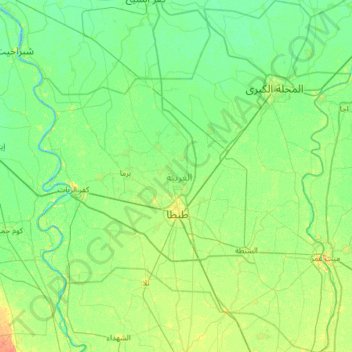
Name: Western topographic map, elevation, terrain.
Location: Western, Egypt (30.57462 30.74672 31.10381 31.30133)
Average elevation: 8 m
Minimum elevation: -1 m
Maximum elevation: 26 m
Make a donation
Other topographic maps
Click on a map to view its topography, its elevation and its terrain.
New Cairo City
Located in what was formerly Helwan Governorate, and located to the east of Maadi and Heliopolis, New Cairo ranges in elevation between 250 and 307 metres (820 and 1,007 ft) above sea level.
Average elevation: 227 m
Make a donation
Make a donation
Make a donation
Make a donation
Asyut
Köppen-Geiger climate classification system classifies its climate as hot desert (BWh). It is the driest city of Egypt. Luxor, Minya, Qena and Asyut have the widest difference of temperatures between days and nights of any city in Egypt, with almost 16 °C (29 °F) difference. The city of Asyut is sandwiched…
Average elevation: 57 m
Make a donation
Make a donation
Make a donation
Make a donation
Make a donation
Make a donation
Make a donation
Make a donation
Make a donation
Make a donation
Make a donation
Make a donation
Make a donation
Make a donation
Make a donation
Make a donation
Make a donation
Make a donation
Make a donation
Make a donation
Make a donation