
Thank you for supporting this site ❤️
Make a donation
Make a donation
Hulshout topographic map
Click on the map to display elevation.
Thank you for supporting this site ❤️
Make a donation
Make a donation
About this map
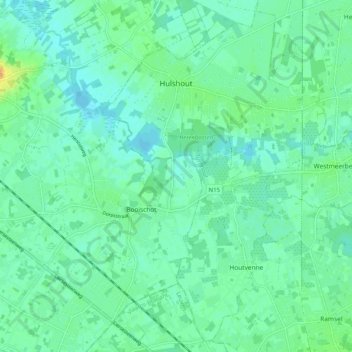
Name: Hulshout topographic map, elevation, terrain.
Location: Hulshout, Turnhout, Amberes, Flandes, 2235, Bélgica (51.02832 4.76687 51.08858 4.86883)
Average elevation: 11 m
Minimum elevation: 3 m
Maximum elevation: 33 m
Thank you for supporting this site ❤️
Make a donation
Make a donation