
Thank you for supporting this site ❤️
Make a donation
Make a donation
Menjangan topographic map
Click on the map to display elevation.
Thank you for supporting this site ❤️
Make a donation
Make a donation
About this map
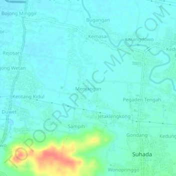
Name: Menjangan topographic map, elevation, terrain.
Location: Menjangan, Pekalongan, Central Java, Java, 51181, Indonesia (-6.99067 109.60257 -6.95067 109.64257)
Average elevation: 18 m
Minimum elevation: 7 m
Maximum elevation: 66 m
Thank you for supporting this site ❤️
Make a donation
Make a donation