
Thank you for supporting this site ❤️
Make a donation
Make a donation
Chahna topographic map
Click on the map to display elevation.
Thank you for supporting this site ❤️
Make a donation
Make a donation
About this map
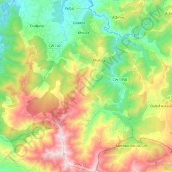
Name: Chahna topographic map, elevation, terrain.
Location: Chahna, Taher District, Jijel, Algeria (36.58966 5.88247 36.72739 5.99326)
Average elevation: 634 m
Minimum elevation: 43 m
Maximum elevation: 1,553 m
Thank you for supporting this site ❤️
Make a donation
Make a donation