
Rudersdorf topographic map
Interactive map
Click on the map to display elevation.
About this map
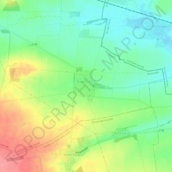
Name: Rudersdorf topographic map, elevation, terrain.
Location: Rudersdorf, Buttstädt, Landkreis Sömmerda, Thuringia, Germany (51.08960 11.42751 51.11883 11.48462)
Average elevation: 206 m
Minimum elevation: 172 m
Maximum elevation: 258 m