
Asari topographic map
Click on the map to display elevation.
About this map
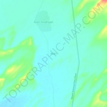
Name: Asari topographic map, elevation, terrain.
Location: Asari, Gadraroad Tehsil, Barmer District, Rajasthan, India (26.06558 70.68548 26.10558 70.72548)
Average elevation: 179 m
Minimum elevation: 166 m
Maximum elevation: 222 m