
Faïdh El Botma topographic map
Interactive map
Click on the map to display elevation.
About this map
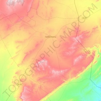
Name: Faïdh El Botma topographic map, elevation, terrain.
Location: Faïdh El Botma, Daïra Faïdh El Botma, Djelfa, Algérie (34.30537 3.50846 34.64351 3.98885)
Average elevation: 1,088 m
Minimum elevation: 656 m
Maximum elevation: 1,482 m