
蕉江瑶族乡 topographic map
Interactive map
Click on the map to display elevation.
About this map
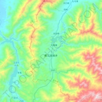
Name: 蕉江瑶族乡 topographic map, elevation, terrain.
Location: 蕉江瑶族乡, 全州县, 桂林市, 广西壮族自治区, 中国 (25.49284 110.80020 25.64504 110.97180)
Average elevation: 640 m
Minimum elevation: 216 m
Maximum elevation: 1,589 m
Other topographic maps
Click on a map to view its topography, its elevation and its terrain.