Geolocate

Burlington topographic map

Interactive map

Click on the map to display elevation.

About this map

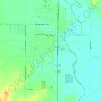
Name: Burlington topographic map, elevation, terrain.

Location: Burlington, Coffey County, Kansas, United States (38.16503 -95.76789 38.21012 -95.73026)

Average elevation: 315 m

Minimum elevation: 304 m

Maximum elevation: 340 m

Other topographic maps

Click on a map to view its topography, its elevation and its terrain.

Gridley

United States > Kansas > Coffey County

Gridley, Coffey County, Kansas, United States

Average elevation: 350 m

Lebo

United States > Kansas > Coffey County

Lebo, Coffey County, Kansas, United States

Average elevation: 351 m

New Strawn

United States > Kansas > Coffey County

New Strawn, Coffey County, Kansas, United States

Average elevation: 336 m

Waverly

United States > Kansas > Coffey County

Waverly, Coffey County, Kansas, United States

Average elevation: 344 m

LeRoy

United States > Kansas > Coffey County

LeRoy, Coffey County, Kansas, 66857, United States

Average elevation: 306 m