
Enterprise topographic map
Interactive map
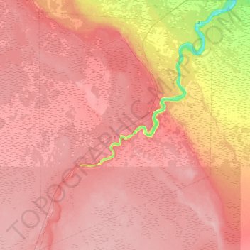
Click on the map to display elevation.
About this map
Name: Enterprise topographic map, elevation, terrain.
Average elevation: 262 m
Minimum elevation: 173 m
Maximum elevation: 292 m
Other topographic maps
Click on a map to view its topography, its elevation and its terrain.
Fort Resolution
Canada > Northwest Territories > South Slave Region > Fort Resolution
Fort Resolution, South Slave Region, Northwest Territories, X0E 0M0, Canada
Average elevation: 161 m
Fort Smith
Canada > Northwest Territories > South Slave Region
Fort Smith, South Slave Region, Northwest Territories, X0E 0P0, Canada
Average elevation: 202 m