
Zwaag topographic map
Interactive map
Click on the map to display elevation.
About this map
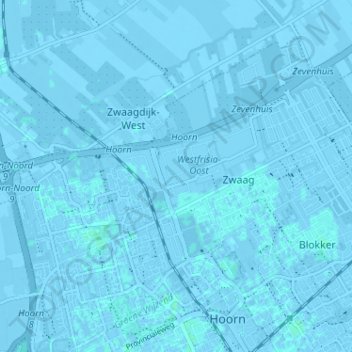
Name: Zwaag topographic map, elevation, terrain.
Location: Zwaag, Hoorn, Nordholland, Niederlande (52.65378 5.03476 52.68437 5.09882)
Average elevation: -1 m
Minimum elevation: -6 m
Maximum elevation: 3 m
Other topographic maps
Click on a map to view its topography, its elevation and its terrain.
Blokker
Niederlande > Nordholland > Hoorn
Blokker, Hoorn, Nordholland, Niederlande
Average elevation: 0 m