
Kampung Sungai Lontok topographic map
Interactive map
Click on the map to display elevation.
About this map
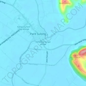
Name: Kampung Sungai Lontok topographic map, elevation, terrain.
Average elevation: 12 m
Minimum elevation: 0 m
Maximum elevation: 183 m
Other topographic maps
Click on a map to view its topography, its elevation and its terrain.
Kampung Parit Raja Ahmad
Malaysia > Johor > Parit Sulong
Kampung Parit Raja Ahmad, Parit Sulong, Batu Pahat, Johor, 83500, Malaysia
Average elevation: 8 m