
Boingt topographic map
Interactive map
Click on the map to display elevation.
About this map
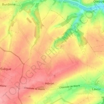
Name: Boingt topographic map, elevation, terrain.
Location: Boingt, Héron, Huy, Liège, Wallonie, 4217, Belgique (50.54285 5.07875 50.58285 5.11875)
Average elevation: 171 m
Minimum elevation: 115 m
Maximum elevation: 204 m
Other topographic maps
Click on a map to view its topography, its elevation and its terrain.
Forseilles
Belgique > Liège > Huy > Héron > Forseilles
Forseilles, Héron, Huy, Liège, Wallonie, 4217, Belgique
Average elevation: 186 m