
Vrellë e Goleshit topographic map
Interactive map
Click on the map to display elevation.
About this map
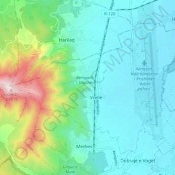
Name: Vrellë e Goleshit topographic map, elevation, terrain.
Location: Vrellë e Goleshit, Municipality of Lipjan / Lipljan, Kosovo (42.54923 20.97775 42.58920 21.04908)
Average elevation: 643 m
Minimum elevation: 536 m
Maximum elevation: 1,022 m