
Thank you for supporting this site ❤️
Make a donation
Make a donation
Poringland topographic map
Click on the map to display elevation.
Thank you for supporting this site ❤️
Make a donation
Make a donation
About this map
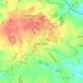
Name: Poringland topographic map, elevation, terrain.
Location: Poringland, South Norfolk, Norfolk, England, United Kingdom (52.54882 1.32302 52.58737 1.37178)
Average elevation: 46 m
Minimum elevation: 16 m
Maximum elevation: 74 m
Thank you for supporting this site ❤️
Make a donation
Make a donation