
Juan Jose Castelli topographic map
Interactive map
Click on the map to display elevation.
About this map
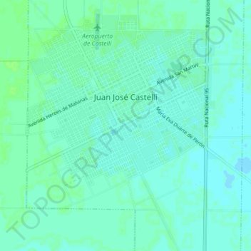
Name: Juan Jose Castelli topographic map, elevation, terrain.
Average elevation: 111 m
Minimum elevation: 107 m
Maximum elevation: 115 m
Other topographic maps
Click on a map to view its topography, its elevation and its terrain.
Pampa Almiron
Argentina > Chaco > Municipio de Juan José Castelli
Pampa Almiron, Municipio de Juan José Castelli, Departamento General Güemes, Chaco, Argentina
Average elevation: 116 m