
Thank you for supporting this site ❤️
Make a donation
Make a donation
Schmehausen topographic map
Click on the map to display elevation.
Thank you for supporting this site ❤️
Make a donation
Make a donation
About this map
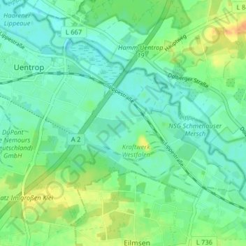
Name: Schmehausen topographic map, elevation, terrain.
Location: Schmehausen, Uentrop, Hamm, Nordrhein-Westfalen, Deutschland (51.66348 7.94525 51.70348 7.98525)
Average elevation: 70 m
Minimum elevation: 59 m
Maximum elevation: 91 m
Thank you for supporting this site ❤️
Make a donation
Make a donation