
Eifelblick "Auf Heilert" topographic map
Interactive map
Click on the map to display elevation.
About this map
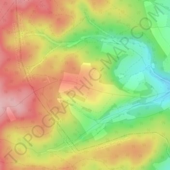
Name: Eifelblick "Auf Heilert" topographic map, elevation, terrain.
Average elevation: 566 m
Minimum elevation: 469 m
Maximum elevation: 649 m