
Make a donation
dessert topographic map
Click on the map to display elevation.
Make a donation
About this map
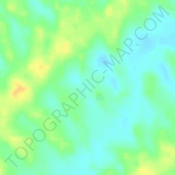
Name: dessert topographic map, elevation, terrain.
Location: dessert, Mirriah, Zinder, Niger (14.19697 9.41887 14.19707 9.41897)
Average elevation: 471 m
Minimum elevation: 458 m
Maximum elevation: 487 m
Make a donation
Other topographic maps
Click on a map to view its topography, its elevation and its terrain.
Niamey
The Niger River is the sole source of Niamey's water supply. Increased use resulted in a decline in the river's water quality in the late 20th century. Unlike most of Niger, Niamey has a central water supply, so the resource is sold as a commodity. According to official sources, pipes serve about 65% of…
Average elevation: 225 m
Make a donation
Make a donation
Mirriah
Mirriah is located in the Sahel region, around 20 kilometres from the regional capital of Zinder. Mirriah's neighbouring municipalities are Gaffati to the north-west, Zermou to the north-east, Hamdara to the east, Wacha to the south-east, Gouna to the south-west and Kolléram to the west. The municipality lies…
Average elevation: 408 m
Make a donation