
Thank you for supporting this site ❤️
Make a donation
Make a donation
Homer A Crow Dam topographic map
Click on the map to display elevation.
Thank you for supporting this site ❤️
Make a donation
Make a donation
About this map
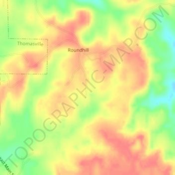
Name: Homer A Crow Dam topographic map, elevation, terrain.
Location: Homer A Crow Dam, Clarke County, Alabama, United States (31.88677 -87.71005 31.88687 -87.70995)
Average elevation: 121 m
Minimum elevation: 83 m
Maximum elevation: 144 m
Thank you for supporting this site ❤️
Make a donation
Make a donation
Other topographic maps
Click on a map to view its topography, its elevation and its terrain.