
Eastside City Park topographic map
Interactive map
Click on the map to display elevation.
About this map
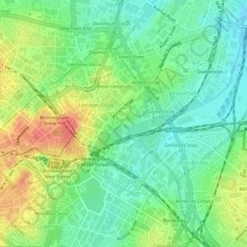
Name: Eastside City Park topographic map, elevation, terrain.
Average elevation: 119 m
Minimum elevation: 94 m
Maximum elevation: 158 m
Other topographic maps
Click on a map to view its topography, its elevation and its terrain.
Newtown
Reino Unido > Inglaterra > Birmingham > Newtown
Newtown, Birmingham, West Midlands Combined Authority, West Midlands, Inglaterra, B19 2SF, Reino Unido
Average elevation: 117 m