
Kampung Pasir Puteh topographic map
Interactive map
Click on the map to display elevation.
About this map
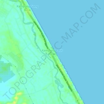
Name: Kampung Pasir Puteh topographic map, elevation, terrain.
Location: Kampung Pasir Puteh, Marang, Terengganu, Malaysia (4.97196 103.30194 5.01196 103.34194)
Average elevation: 3 m
Minimum elevation: -1 m
Maximum elevation: 18 m