
Thank you for supporting this site ❤️
Make a donation
Make a donation
Balda topographic map
Click on the map to display elevation.
Thank you for supporting this site ❤️
Make a donation
Make a donation
About this map
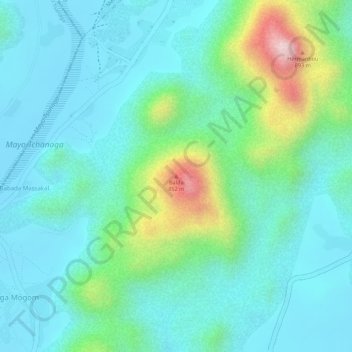
Name: Balda topographic map, elevation, terrain.
Location: Balda, Gazawa, Diamaré, Far-North, Cameroon (10.62258 14.07400 10.62268 14.07410)
Average elevation: 595 m
Minimum elevation: 512 m
Maximum elevation: 862 m
Thank you for supporting this site ❤️
Make a donation
Make a donation