
Thank you for supporting this site ❤️
Make a donation
Make a donation
Am Bach topographic map
Click on the map to display elevation.
Thank you for supporting this site ❤️
Make a donation
Make a donation
About this map
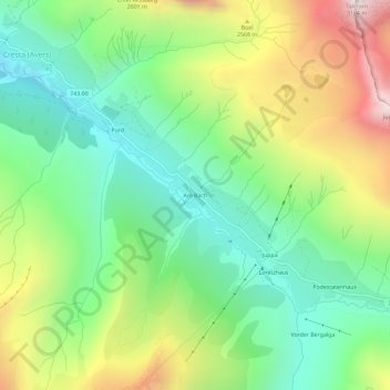
Name: Am Bach topographic map, elevation, terrain.
Location: Am Bach, Avers, Viamala, Grisons, 7447, Suisse (46.43838 9.51731 46.47838 9.55731)
Average elevation: 2,304 m
Minimum elevation: 1,825 m
Maximum elevation: 3,135 m
Thank you for supporting this site ❤️
Make a donation
Make a donation