
Thank you for supporting this site ❤️
Make a donation
Make a donation
Callison topographic map
Click on the map to display elevation.
Thank you for supporting this site ❤️
Make a donation
Make a donation
About this map
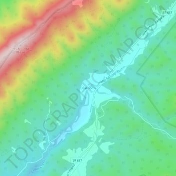
Name: Callison topographic map, elevation, terrain.
Location: Callison, Bath County, Virginia, United States (37.95874 -79.93144 37.99874 -79.89144)
Average elevation: 607 m
Minimum elevation: 459 m
Maximum elevation: 951 m
Thank you for supporting this site ❤️
Make a donation
Make a donation
Other topographic maps
Click on a map to view its topography, its elevation and its terrain.