
Thank you for supporting this site ❤️
Make a donation
Make a donation
Mount Busa topographic map
Click on the map to display elevation.
Thank you for supporting this site ❤️
Make a donation
Make a donation
About this map
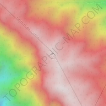
Name: Mount Busa topographic map, elevation, terrain.
Location: Mount Busa, Sarangani, Soccsksargen, Philippines (6.11856 124.68328 6.11866 124.68338)
Average elevation: 1,757 m
Minimum elevation: 1,104 m
Maximum elevation: 2,004 m
Thank you for supporting this site ❤️
Make a donation
Make a donation
Other topographic maps
Click on a map to view its topography, its elevation and its terrain.