
Thank you for supporting this site ❤️
Make a donation
Make a donation
Whitfield topographic map
Click on the map to display elevation.
Thank you for supporting this site ❤️
Make a donation
Make a donation
About this map
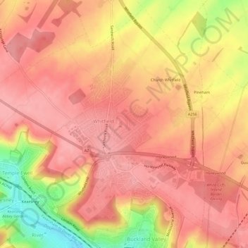
Name: Whitfield topographic map, elevation, terrain.
Location: Whitfield, Dover, Kent, England, United Kingdom (51.14259 1.26325 51.17555 1.31859)
Average elevation: 101 m
Minimum elevation: 21 m
Maximum elevation: 133 m
Thank you for supporting this site ❤️
Make a donation
Make a donation
Other topographic maps
Click on a map to view its topography, its elevation and its terrain.