
Thank you for supporting this site ❤️
Make a donation
Make a donation
El Lomito topographic map
Click on the map to display elevation.
Thank you for supporting this site ❤️
Make a donation
Make a donation
About this map
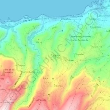
Name: El Lomito topographic map, elevation, terrain.
Location: El Lomito, Firgas, Las Palmas, Îles Canaries, 35414, Espagne (28.11211 -15.57415 28.15211 -15.53415)
Average elevation: 178 m
Minimum elevation: 0 m
Maximum elevation: 469 m
Thank you for supporting this site ❤️
Make a donation
Make a donation