
Thank you for supporting this site ❤️
Make a donation
Make a donation
Cancarix topographic map
Click on the map to display elevation.
Thank you for supporting this site ❤️
Make a donation
Make a donation
About this map
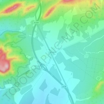
Name: Cancarix topographic map, elevation, terrain.
Location: Cancarix, Hellín, Albacete, Castilla-La Mancha, España (38.40166 -1.58991 38.44166 -1.54991)
Average elevation: 497 m
Minimum elevation: 430 m
Maximum elevation: 710 m
Thank you for supporting this site ❤️
Make a donation
Make a donation