
Thank you for supporting this site ❤️
Make a donation
Make a donation
Cuerda Larga topographic map
Click on the map to display elevation.
Thank you for supporting this site ❤️
Make a donation
Make a donation
About this map
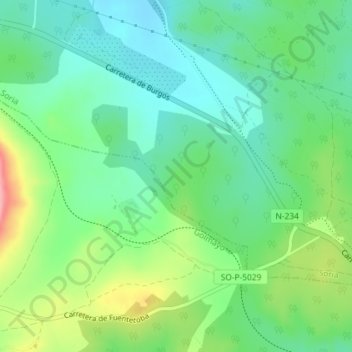
Name: Cuerda Larga topographic map, elevation, terrain.
Location: Cuerda Larga, Soria, Castilla y León, 42190, España (41.77966 -2.54962 41.79966 -2.52962)
Average elevation: 1,078 m
Minimum elevation: 1,040 m
Maximum elevation: 1,159 m
Thank you for supporting this site ❤️
Make a donation
Make a donation
Other topographic maps
Click on a map to view its topography, its elevation and its terrain.