
Thank you for supporting this site ❤️
Make a donation
Make a donation
Ziru topographic map
Click on the map to display elevation.
Thank you for supporting this site ❤️
Make a donation
Make a donation
About this map
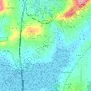
Name: Ziru topographic map, elevation, terrain.
Location: Ziru, Entebbe City, Central Region, Uganda (0.12167 32.50144 0.16167 32.54144)
Average elevation: 1,170 m
Minimum elevation: 1,135 m
Maximum elevation: 1,299 m
Thank you for supporting this site ❤️
Make a donation
Make a donation