
Thank you for supporting this site ❤️
Make a donation
Make a donation
Edisto River topographic map
Click on the map to display elevation.
Thank you for supporting this site ❤️
Make a donation
Make a donation
About this map
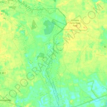
Name: Edisto River topographic map, elevation, terrain.
Location: Edisto River, Colleton County, South Carolina, 29274, USA (32.92825 -80.49780 33.06437 -80.38775)
Average elevation: 14 m
Minimum elevation: 2 m
Maximum elevation: 28 m
Thank you for supporting this site ❤️
Make a donation
Make a donation
Other topographic maps
Click on a map to view its topography, its elevation and its terrain.