
Ellewoutsdijk topographic map
Interactive map
Click on the map to display elevation.
About this map
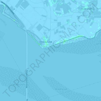
Name: Ellewoutsdijk topographic map, elevation, terrain.
Location: Ellewoutsdijk, Borsele, Seeland, Niederlande (51.35575 3.77550 51.41332 3.85996)
Average elevation: 0 m
Minimum elevation: -9 m
Maximum elevation: 4 m
Other topographic maps
Click on a map to view its topography, its elevation and its terrain.
Oudelande
Niederlande > Seeland > Borsele
Oudelande, Borsele, Seeland, Niederlande
Average elevation: -1 m
Heinkenszand
Niederlande > Seeland > Borsele
Heinkenszand, Borsele, Seeland, Niederlande
Average elevation: 0 m
's-Heer Abtskerke
Niederlande > Seeland > Borsele
's-Heer Abtskerke, Borsele, Seeland, Niederlande
Average elevation: -1 m
Borssele
Niederlande > Seeland > Borsele
Borssele, Borsele, Seeland, Niederlande
Average elevation: 0 m