
Thank you for supporting this site ❤️
Make a donation
Make a donation
Lungo topographic map
Click on the map to display elevation.
Thank you for supporting this site ❤️
Make a donation
Make a donation
About this map
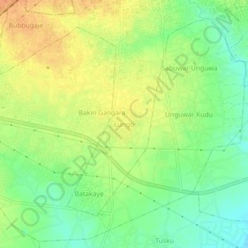
Name: Lungo topographic map, elevation, terrain.
Location: Lungo, Dan Maliki, Kumbotso, État de Kano, Nigéria (11.90490 8.49128 11.94490 8.53128)
Average elevation: 464 m
Minimum elevation: 445 m
Maximum elevation: 481 m
Thank you for supporting this site ❤️
Make a donation
Make a donation