
Thank you for supporting this site ❤️
Make a donation
Make a donation
Oker topographic map
Click on the map to display elevation.
Thank you for supporting this site ❤️
Make a donation
Make a donation
About this map
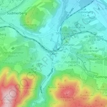
Name: Oker topographic map, elevation, terrain.
Location: Oker, Goslar, Landkreis Goslar, Lower Saxony, 38642, Germany (51.88303 10.46352 51.92303 10.50352)
Average elevation: 290 m
Minimum elevation: 178 m
Maximum elevation: 604 m
Thank you for supporting this site ❤️
Make a donation
Make a donation