
Thank you for supporting this site ❤️
Make a donation
Make a donation
Annandale topographic map
Click on the map to display elevation.
Thank you for supporting this site ❤️
Make a donation
Make a donation
About this map
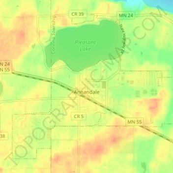
Name: Annandale topographic map, elevation, terrain.
Location: Annandale, Wright County, Minnesota, 55302, United States (45.24262 -94.15256 45.28310 -94.08800)
Average elevation: 324 m
Minimum elevation: 301 m
Maximum elevation: 339 m
Thank you for supporting this site ❤️
Make a donation
Make a donation