
Lake Louisa topographic map
Interactive map
Click on the map to display elevation.
About this map
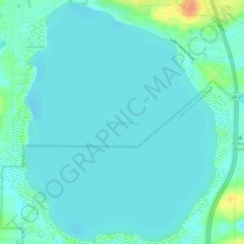
Name: Lake Louisa topographic map, elevation, terrain.
Location: Lake Louisa, Lake County, Floride, États-Unis d'Amérique (28.46064 -81.75715 28.50245 -81.71868)
Average elevation: 31 m
Minimum elevation: 24 m
Maximum elevation: 66 m