
Thank you for supporting this site ❤️
Make a donation
Make a donation
Lakhmipur topographic map
Click on the map to display elevation.
Thank you for supporting this site ❤️
Make a donation
Make a donation
About this map
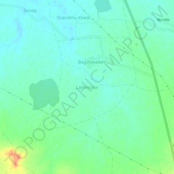
Name: Lakhmipur topographic map, elevation, terrain.
Location: Lakhmipur, Ashta Tahsil, Sehore, Madhya Pradesh, India (23.07814 76.66036 23.11814 76.70036)
Average elevation: 484 m
Minimum elevation: 472 m
Maximum elevation: 513 m
Thank you for supporting this site ❤️
Make a donation
Make a donation